Wild weather ‘colder than July’ set to hit
Written by admin on September 13, 2024
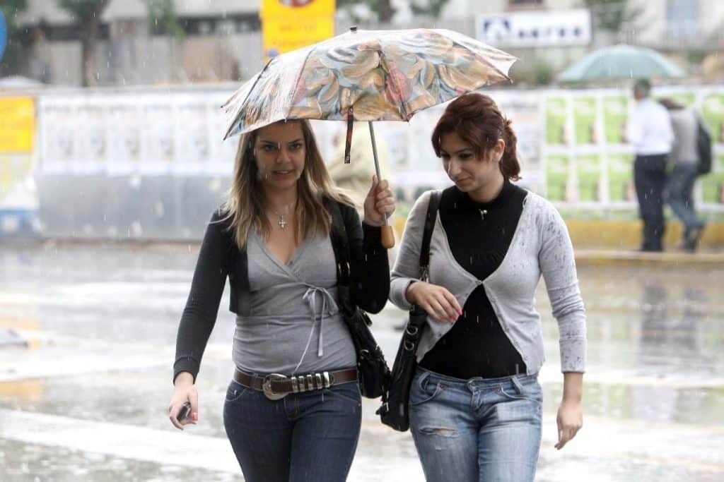
Get ready to rug up as winter descends in early spring.
After a run of unseasonably warm weather, the mercury is sinking as a cold snap envelops the south east.
Melbourne’s Saturday maximum temperature could be six degrees below the September average. Coastal areas of southern New South Wales could be up to eight degrees lower than average on Sunday.
“It’s going to be almost winter-like this weekend for Tasmania and Victoria,” Sky News Weather meteorologist Rob Sharpe said.
“That will then push up the NSW coastline through Saturday afternoon and evening.”
A cold front barrelling through the Great Australian Bight and into Tasmania and south east areas of the mainland is bringing the sudden temperature drop and rain.
The cooler than usual conditions could last well into next week.
Colder than July
“For Melbourne, we’re expecting this to be their coldest spell since the start of August,” Mr Shape added.
“The coldest day for Melburnians will be Saturday with showers coming through across the day, although it might clear just in time for the NRL in the afternoon.”
The average September minimum in Melbourne is around 18C. On Friday it will be close to that with a 17C high and 9C low.
But on Saturday it will struggle to get to even 12C – that’s colder than an average July day. Up to 9mm of rain could fall on the same day.
Sunday will start off cool at 6C then head up to a still unseasonably cold 14C.
Geelong is forecast to reach 13C on Saturday and 14C on Sunday. Ballart may only peak at 9C on Saturday.
Alpine areas will likely see some snow with a low of -6C on Mt Buller on Sunday morning.
In Tasmania, 14C will be the maximum on a showery Friday.
On Saturday, the temperature will go even lower down to an 11C high and 5C low with up to 11mm of rain. Early risers on Sunday will experience just 4C before the mercury inches up to 13C later in the day.
Up on kunanyi/Mt Wellington, snow could fall on Friday and throughout the weekend. On Saturday, the maximum on the mountain could be below freezing with a -5C low.
Adelaide should be partly cloudy on Friday and Saturday leading into sunny Sunday. The high of Friday will be 18C with an early morning low of 5C. Expect 17C maximums on the weekend and lows around 6C.
Parts of NSW 8 degrees below average
In the ACT, Canberra will wake up to -1C on Friday and zero on Saturday. Highs of 18C on Friday and Saturday but Sunday will top out at only 14C. Saturday could see some showers.
Sydney will be a see saw of temperatures. Friday’s 19C high will be just under average for September. But a warmer Saturday should see a maximum of 23C which is two degrees above average.
The maximum will then sink on Sunday to 17C with a 10C low as the cold front powers through. Sunday could see some light showers.
That drop will be even more marked in some coastal area with Wollongong going from a 22C high on Saturday to one of just 15C on Sunday.
Perisher is looking at -5C on Sunday while Katoomba, in the Blue Mountains, is forecast to drop from a 17C Saturday high to 9C on Sunday.
Brisbane will be doing the reverse and getting warmer. A high of 22C on Friday will be repeated on Saturday and then Sunday will see a bump to 25C on a partly cloudy day. The minimums will be around the mid-teens.
Townsville will bob around the 28C mark up to and into the weekend.
More Coverage
Perth is looking sunny and pleasant for the forthcoming days. Friday will see a high of 28C and then down just a touch to 25C on Sunday with 13C lows.
Albany will be partly cloudy with weekend highs of 18C; Karratha is looking like sunny 35C for the next few days.
Toasty in Darwin with 36C on Friday and 35C on the weekend.
Read related topics:Weather