State braces for destructive winds
Written by admin on October 1, 2024
Western Australian residents are being urged to prepare for damaging and destructive winds as two large weather systems move across the country.
The Bureau of Meteorology has forecast strong winds up to 100km/hr across parts of WA, with some areas expecting to be battered by destructive winds up to 125km on Wednesday.
“Damaging and destructive winds, large waves and severe thunderstorms are all on the table for Western Australia over the next couple of days as a pair of weather systems impact the state,” Bureau senior meteorologist Angus Hynes said.
“We’ve got a trough starting near the coast moving inland and on the eastern side of that trough, a broad area of thunderstorms will develop.
“At the same time as that’s happening over inland parts of the state, a strong cold front will be moving through Perth and southwest early on Wednesday morning coming with some rain, maybe some hail and very, very strong winds.
“In the southwest of the state, the primary threat with that front does look to be the damaging to destructive winds.
“It will develop as the front moves through early in the morning, then it’s very windy all day on Wednesday and potentially in the evening we could see the strongest winds of all because we have this low pressure area in the state’s southwest.”
“It’s getting closer and closer, it squeezes the isobars together and causes that wind to blow even more strongly across the state.”
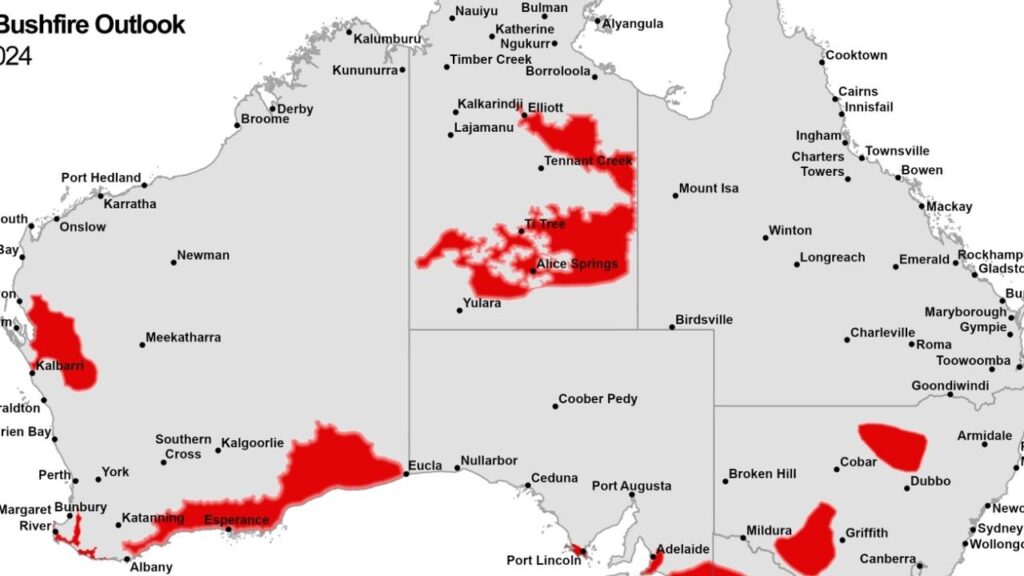
A severe weather warning will remain in place for Wednesday evening across areas from Jurien Bay down to the Esperance coast, which includes Southern Cross and Perth.
Mr Hynes said gusts between 90-100km/hr are forecast for late Wednesday and possibly early Thursday.
“Potentially even stronger (winds) around the southwestern coast between Bunbury and the Augusta destructive winds are possible 125km/hr or even stronger than that,” he said.
Rain is also forecast as the fronts move across the state, with 20-40mm of rain forecast for the Perth area and other southwestern parts of WA.
Mr Hynes said this rain could “come in really quick time” and warned inland parts of the state were also at risk of intense rainfall driven by thunderstorm activity.
Queensland
Brisbane will reach a top of 24 degrees on Wednesday.
However, Mr Hynes said rain is forecast for parts of the state as an onshore easterly flow pushes a “few showers to almost all areas across the coast”.
“Rainfall of 1-10mm is possible from Brisbane to the tropical coast, but likely in the low area (of the state),” he said.
“Thunderstorms may develop in the central interior.”
New South Wales
Sydney is forecast for a high 21 degrees.
“A cool southeast wind flow will develop in the morning, bringing showers to the coast and eastern rangers throughout the day,” Mr Hynes said.
“Before lunch, showers could impact anyone but after lunch they should be confined to the north of the coast, north of Newcastle.”
Victoria
Cold morning temperatures are forecast for most of the state that could lead to foggy conditions.
Melbourne will is set to hit 18 degrees.
South Australia
Mr Hynes said South Australia could see some unseasonal heat across Wednesday.
More Coverage
“Northerlies are developing across South Australia on Wednesday, and that’s going to push the temperatures up,” he said.
“With upper 20s (degrees) across much of the state, it could be the warmest day of Spring so far.
Adelaide will see a high of 24 degrees.


