‘Heaviest August rain in a decade’ set to hit
Written by admin on August 14, 2024
Parts of eastern Australia will continue to cop a drenching in what could be the heaviest August deluge for almost a decade, forecasters have said.
The Queensland coast saw a drenching on Tuesday with widespread falls of 100mm. Samuel Hill, north of Rockhampton, saw 176mm while parts of Northern New South Wales have seen 240mm of moisture over the last few days as the rain event passes through.
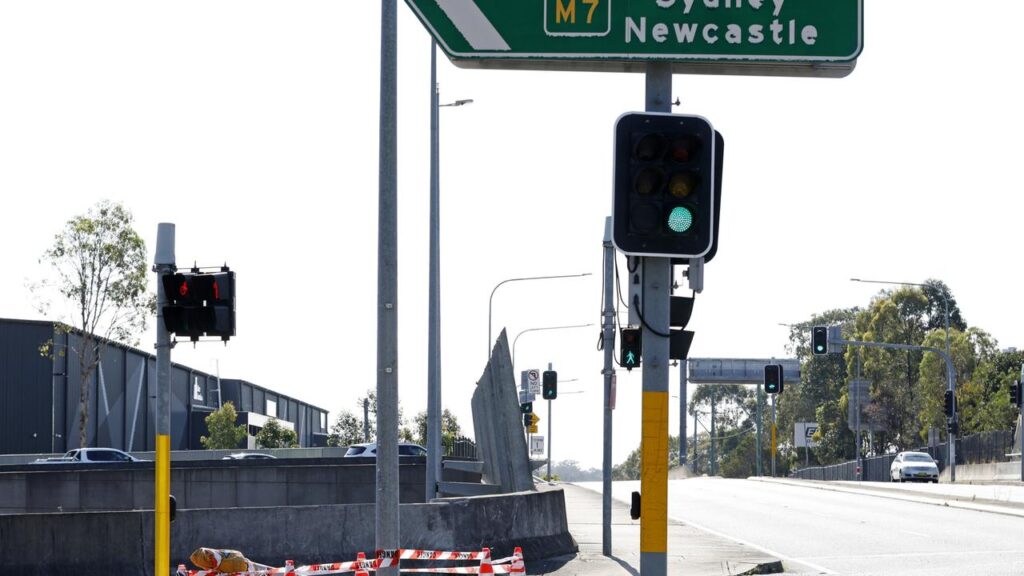
On Wednesday, millions across the two states could see a soaking. Brisbane and the Gold Coast are looking at up to 45mm of rain while you can double that amount in Ballina and Byron Bay. As far south as Sydney and Wollongong could see heavy downfalls.
“The rainfall and flooding will continue to be a risk across parts of South East Queensland and North East New South Wales,” said Bureau of Meteorology meteorologist Miriam Bradbury.
Significant areas of rain showers and storms are combining with strong onshore flows coming in from the east which is increasing moisture on the coast, Ms Bradbury said.
There is also the risk of damaging surf and beach erosion from K’gari down to the Sunshine Coast. Waves several metres high to hit the coast.
Sky News Weather meteorologist Rob Sharpe said the soggy conditions began on Sunday and could last late into Wednesday.
“For many parts of the northern rivers, including Ballina and Lismore, it’s been the heaviest August rain in a decade,” he said.
“But by Thursday most of that rain will push out to sea”.
Severe weather warnings are in place across southern Queensland and northern NSW with a flood watch in place for catchments from Shoalwater Bay to Tweed Heads and then down through the Northern Rivers.
Rockhampton should see the showers ease after a sodden Tuesday. But that rain is moving south with Bundaberg potentially see up to 40mm of rain on Wednesday, most likely in the morning with similar conditions in Maryborough and Gympie.
By Friday, Bundaberg and Rockhampton could well have experienced over 150mm of rain during this event and are likely to be the heaviest areas.
The Sunshine Coast is looking at 15-60mm on Wednesday, Brisbane CBD could see up to 45mm with Surfers Paradise on 15-50mm. Highs will be around 20C.
The rain will extend inward with Toowoomba and St George also seeing downpours but not as heavy.
By Thursday that wet weather should have cleared out across Queensland with just a few passing showers.
Cross the border rand the rain gets even heavier. Tweed Heads is forecast to see as little as 15mm or as high as 90mm on the gauge for Wednesday. Lismore, Byron Bay and Ballina are looking at up to 80mm; Coffs Harbour as high as 60mm and Port Macquarie 35mm.
Inland areas of northern NSW will see some falls with, for example, up to 25mm in Tamworth.
Newcastle is forecast to receive a maximum of 25mm and Sydney is looking at 2-20mm as Wednesday progresses. Temperatures will sit around 18C.
The Illawarra could also see similar falls but it will get lighter showers the further south you go.
Canberra may experience a few showers but only around 5mm of rain in total.
Some showers could linger into Thursday morning across coastal NSW.
More Coverage
Many other capitals will remain dry and sunny. Adelaide should see blue skies and 21C on Wednesday but rain could fall from later Thursday and into Friday. Melbourne will also see a 21C maximum with a few shoers expected on Friday.
Hobart could pick up some spots of rain through the week with highs of 15-17C.
In Perth, between 3-10mm of rain could fall on Wednesday with a 20C high. A dry and sunny 31C in Darwin.
Read related topics:Weather